
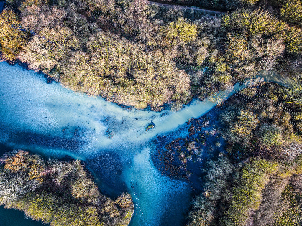
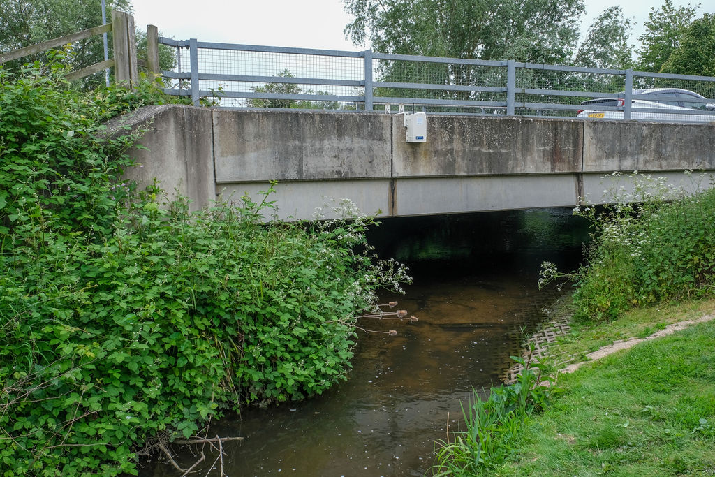
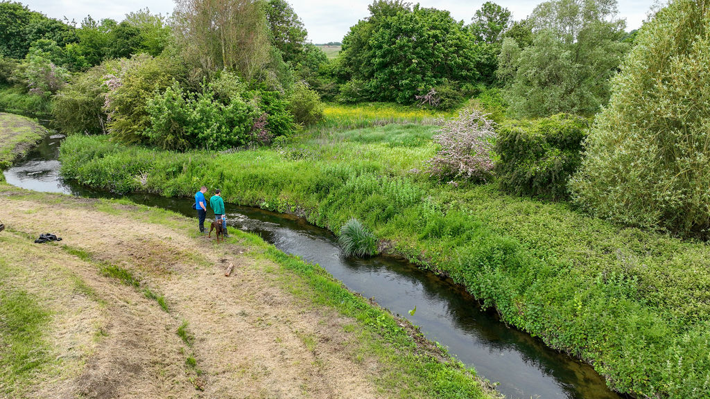
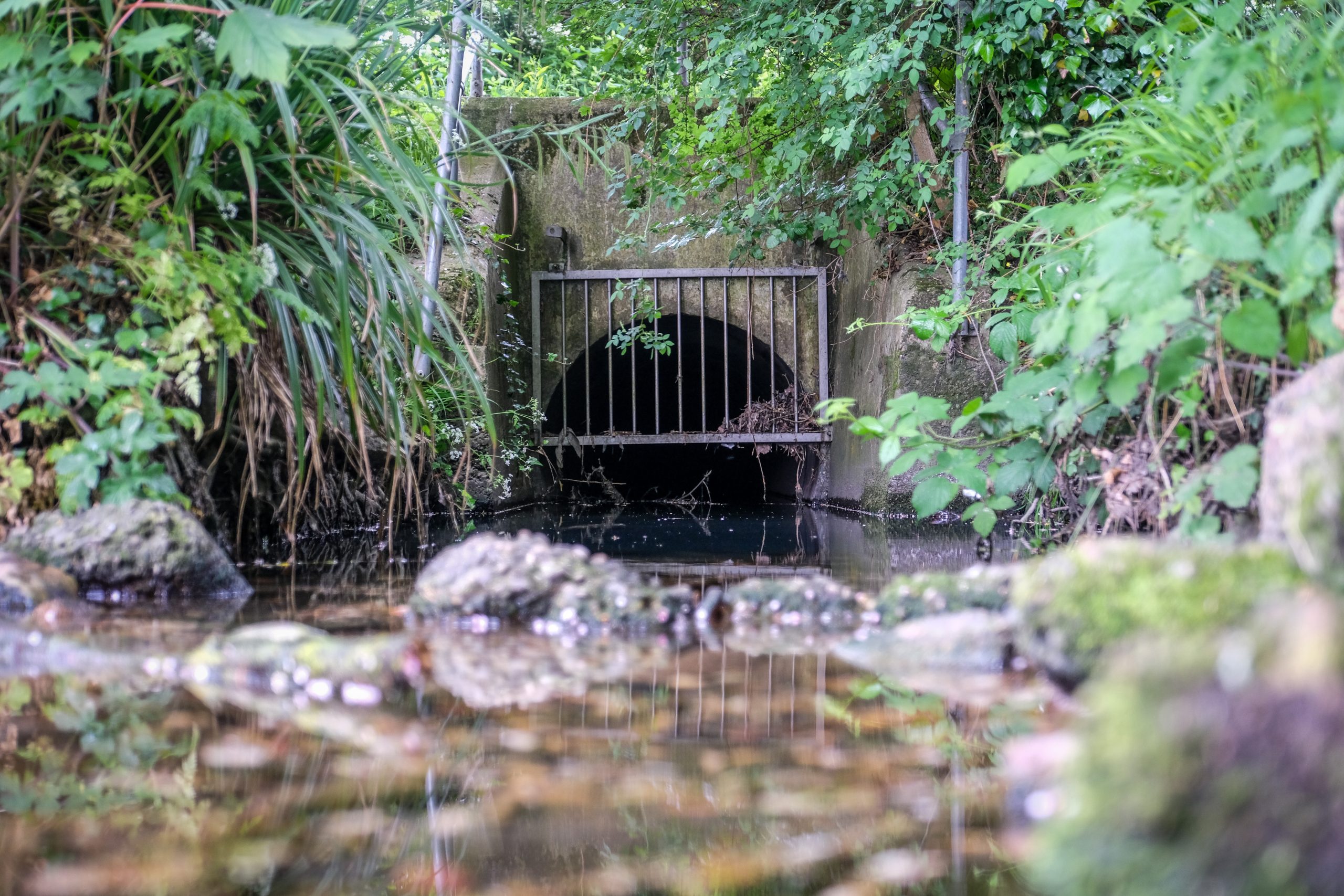
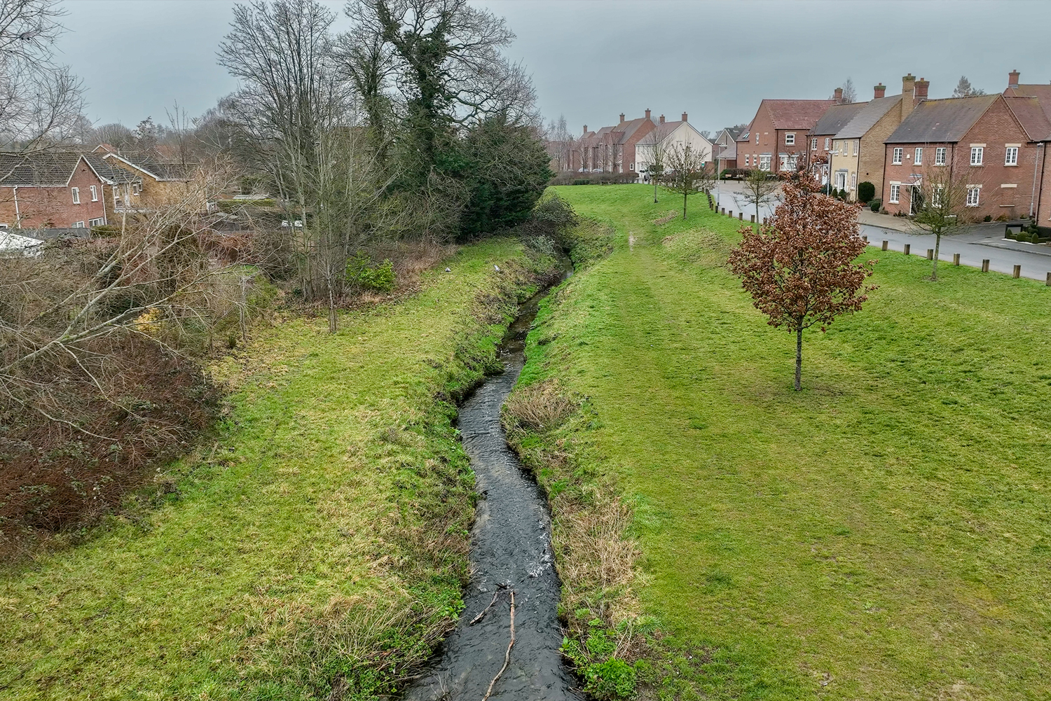
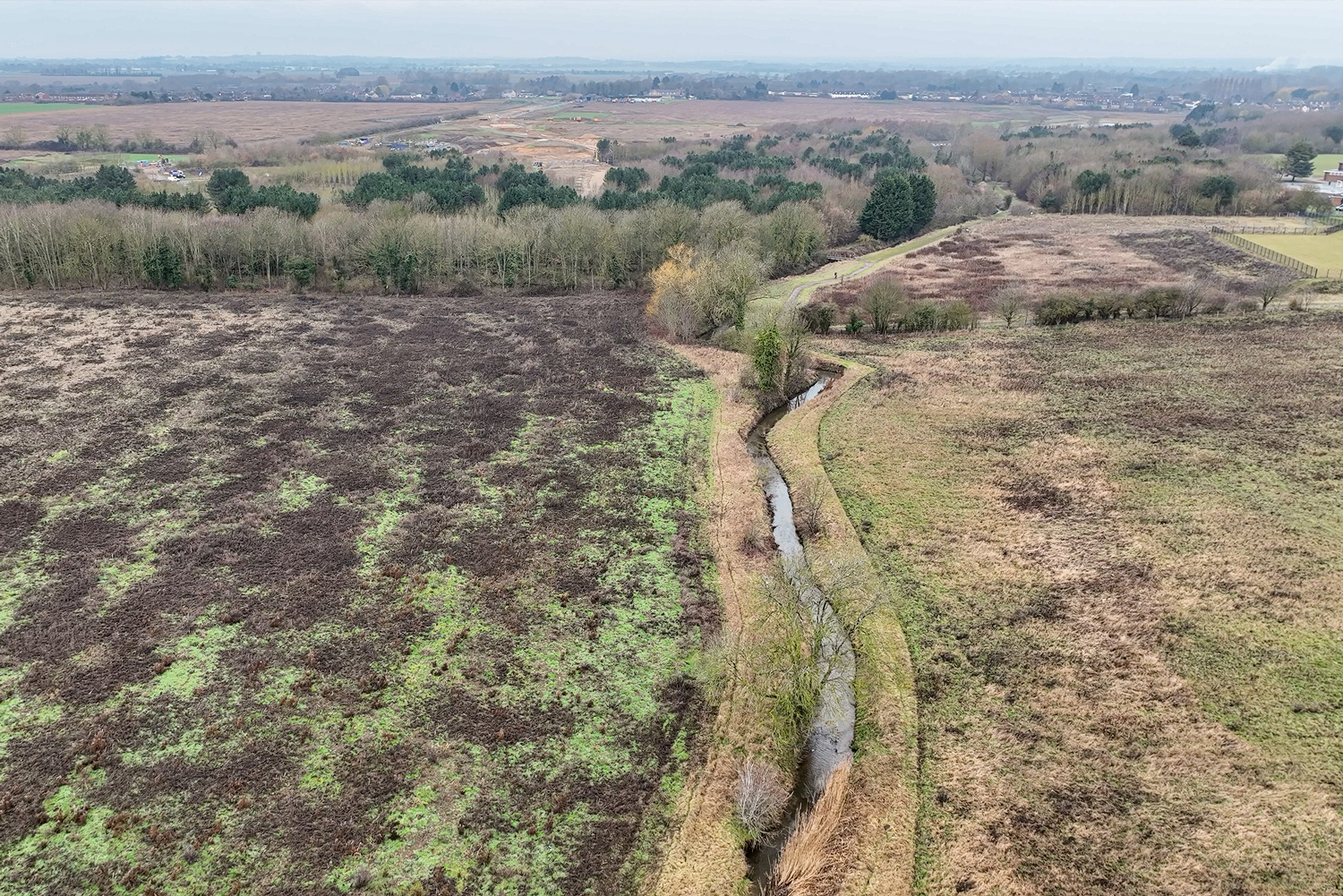
ResilienTogether is a Defra-funded initiative in the Pix Brook catchment
It’s our aim to better monitor, respond and adapt to changing flood risks.
Using information technology in the Pix Brook catchment, including new flow and water quality monitoring stations, we will improve our understanding about how and when flooding is likely to occur, and the best way to address water quality issues, and support habitats while mitigating the flood risk.
This movement is for people, for nature, for the Pix.
About the Project
What We Do
Get involved
Monitoring Data
Learning and
resources library
From downloadable technical papers and reports, to the latest case studies, webinars and blogs, plus images and video for non-commercial use, you can get all the resources you need at the click of a button.
Find out all
about our partners
We’re called ResilienTogether because we bring a host of different companies, organisations and individuals together to do the best for the Brook.


Meet our team“This is a really important project, helping us to gain the data to map out a clearer picture of how the Pix manages increases and decreases in volumes of water. With this information we can plan for the future, building resilience in our communities.”
Sharon Russell-Verma, Project Manager